























A fresh low-pressure system brewing over the Bay of Bengal has significantly altered atmospheric conditions across Jharkhand, bringing intermittent spells of vigorous rainfall to several areas. The India Meteorological Department (IMD) has issued advisories warning of heavy precipitation accompanied by severe lightning strikes and squally winds on September 24. With major cloud bands covering central and southern districts, meteorological activity has picked up brisk momentum following previous rainy spells. Weather specialists note that this active pattern will persist across the state for several days, keeping regional conditions thoroughly wet and damp.
Orange Alert Declared for Five Key Districts
The meteorological centre in Ranchi has placed five southern and central districts under an orange alert for September 24: Simdega, West Singhbhum, Gumla, Khunti, and Ranchi. These administrative zones face the probability of isolated heavy to very heavy downpours. Concurrently, yellow advisories remain operational for East Singhbhum, Saraikela-Kharsawan, Lohardaga, Ramgarh, Hazaribagh, Koderma, and Bokaro, where moderate to intense showers are anticipated. Recent torrential spells across Ranchi have already caused urban inundation in several low-lying localities, alongside a noticeable swell in the discharge volumes of scenic waterfalls scattered around the capital district.
Threat of Lightning Strikes and High-Velocity Winds
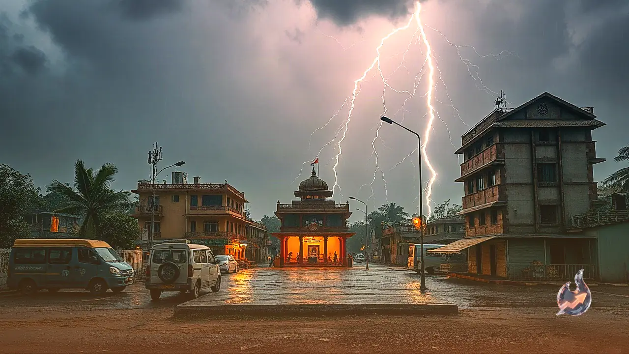
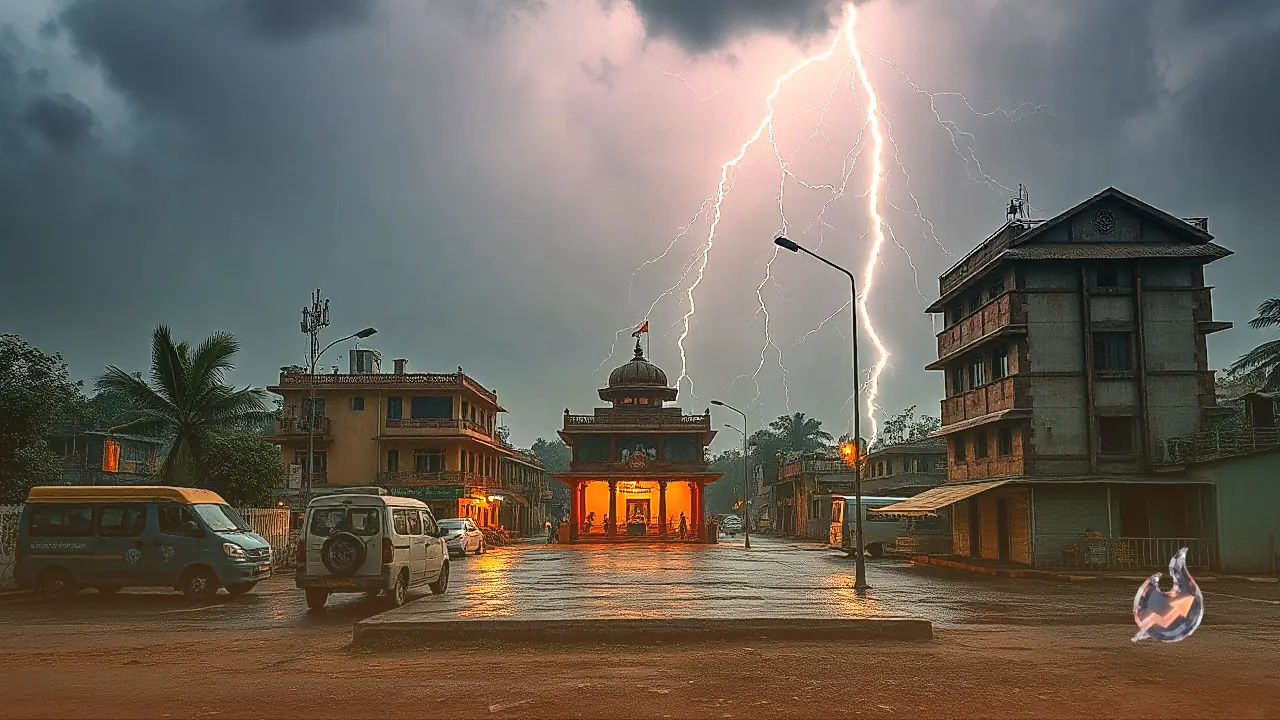
Beyond copious rainfall, the prevailing meteorological system presents a serious hazard from cloud-to-ground lightning and convective wind squalls. On September 23, several districts experienced gusty surface winds blowing at speeds between 40 and 50 kilometres per hour. Similar turbulence is projected for September 24, as active thunderstorms build across the region. IMD officials have highlighted the need for caution, particularly advising rural residents and farmers to steer clear of open pastures, water bodies, and isolated tall trees. Even after the heaviest showers subside, thunderstorm and lightning warnings will remain in effect from September 26 through September 29 across diverse pockets of the state.
Day Temperatures Tumble by Four to Five Degrees
Persistent overcast skies combined with damp easterly winds have led to a noticeable contraction in daytime temperatures throughout the state. According to weather analysis, maximum temperatures are projected to drop by 4 to 5 degrees Celsius below standard readings. This downward shift has largely mitigated the muggy, humid weather prevalent earlier in the season. Districts including Ranchi, Khunti, Gumla, Simdega, and West Singhbhum are experiencing noticeably cooler afternoons. While the atmospheric drop offers pleasant daytime weather, authorities urge the public against visiting outdoor tourist destinations, riverside recreational zones, or waterfalls due to rapid water runoff and heightened lightning risks.
Forecast for September 25 and Ensuing Week
Meteorological projections indicate that on September 25, the primary precipitation zone will shift towards the north-western sector of Jharkhand. Districts such as Palamu, Garhwa, Chatra, Latehar, Hazaribagh, Koderma, and Giridih are expected to witness intense showers accompanied by lightning and gusty winds. While the spatial coverage of widespread torrential rainfall may ease slightly between September 26 and September 29, the threat of intermittent lightning strikes and localized thunder will persist across the plateau. Another spell involving gusty winds, localized storms, and showers is anticipated to extend into September 30.
Precipitation Records from September 23
Significant precipitation was documented across Jharkhand on September 23, affirming the steady westward drift of the cyclonic circulation. Showers were recorded across Ranchi, Khunti, Gumla, Lohardaga, Ramgarh, Bokaro, Dhanbad, Hazaribagh, Koderma, Giridih, Deoghar, and Jamtara, frequently accompanied by brisk squalls. From September 24 through September 27, the weather across Jharkhand is expected to remain strongly influenced by this system. Residents of Simdega, Gumla, Khunti, West Singhbhum, and Ranchi are advised to remain vigilant against waterlogging and avoid shelter under vulnerable structures during thunderstorm activity.