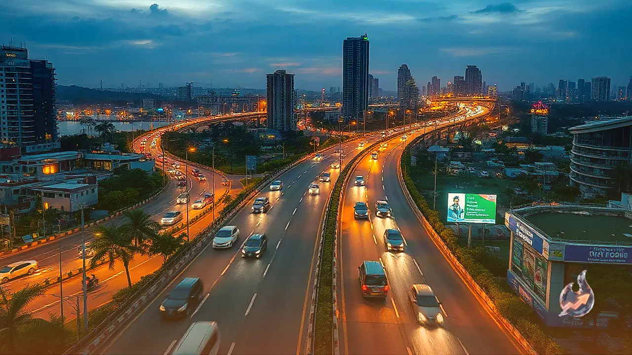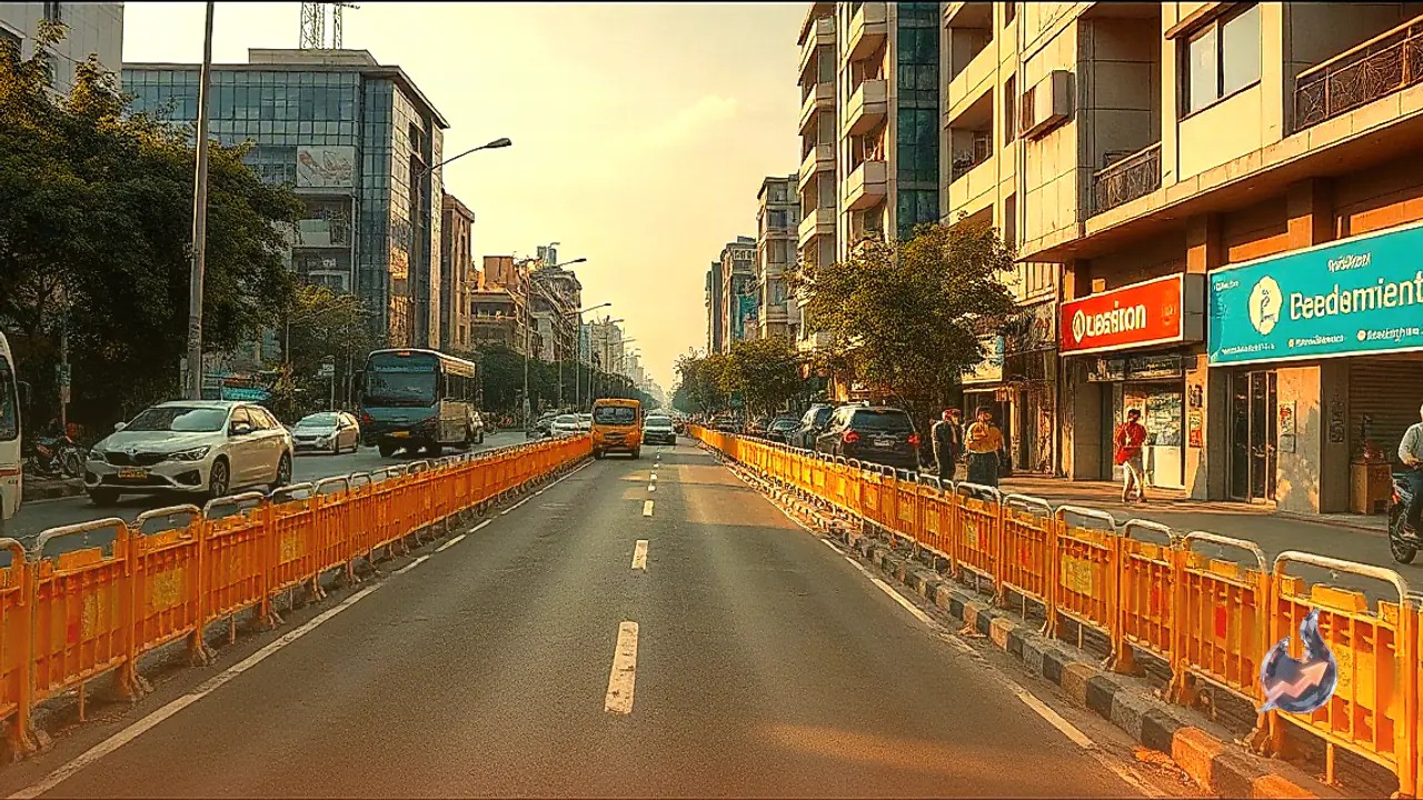



















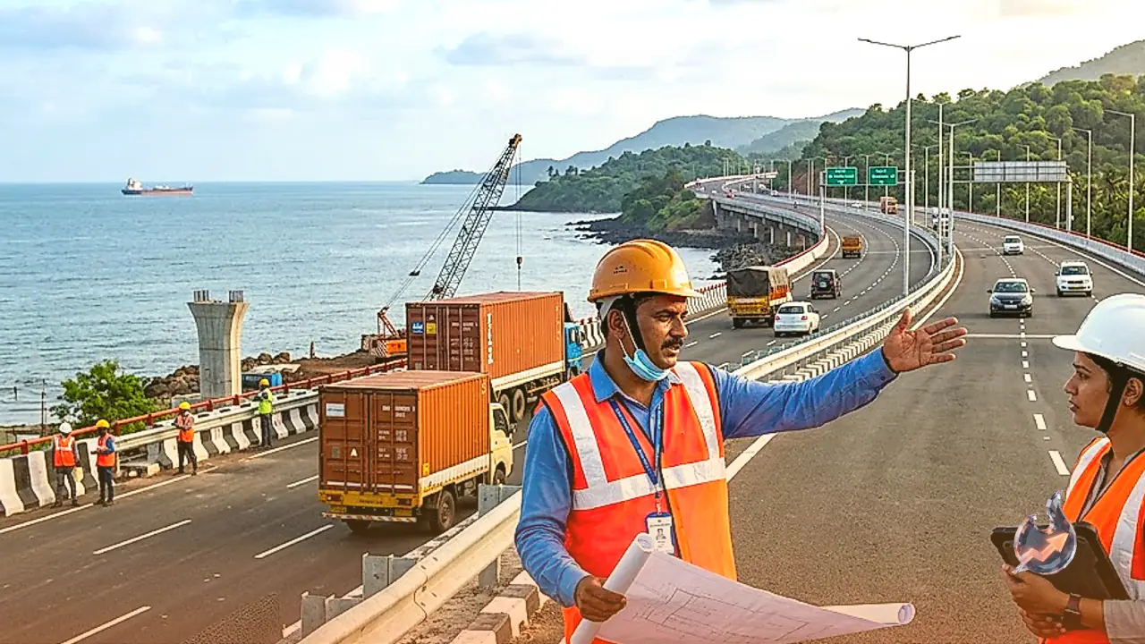

A transformative infrastructure development is reshaping connectivity along India's vast western seaboard. The comprehensive 1,619 km economic corridor connecting the nation's financial hub, Mumbai, to the southernmost tip of the Indian mainland, Kanyakumari, is on track to revolutionize long-distance transit. Once fully modernized and commissioned, the entire stretch will enable vehicular traffic to complete the journey between the two distant points in approximately 22 hours. Historically, traversing this southern coastal route meant navigating narrow carriageways, sharp mountain curves, heavy municipal traffic, and punishing monsoon conditions, turning trips into grueling multi-day ordeals. The comprehensive widening and upgrade of this highway network promises an uninterrupted driving experience, flanked by the Arabian Sea on one side and bustling regional economies across four major states on the other.
Expanding High-Speed Road Infrastructure Across Four States
The foundational backbone of this 1,619 km transport spine rests largely along the route of the historic National Highway 66. Being executed under the federal Bharatmala Pariyojana framework, the project focuses on systematically bridging major commercial ports, agricultural heartlands, manufacturing clusters, and coastal urban centers with modern multilane highways. Extensive engineering interventions are being implemented throughout the corridor, including wide bypasses around congested settlement zones, junction improvements, and structural overhauls to ensure sustained vehicle speeds. Originating in Maharashtra, the route traverses coastal Karnataka, runs through the entire length of Kerala, and terminates at Kanyakumari in Tamil Nadu. Beyond slashing individual travel hours, this seamless thoroughfare significantly expands long-haul freight bandwidth for commercial transport operators across peninsular India.
Economic Boost for Maharashtra's Konkan Agro-Industries
Departing Mumbai and Panvel, the corridor ventures into Maharashtra's coastal Konkan belt, predominantly covering the agrarian and coastal districts of Ratnagiri and Sindhudurg. This geographical pocket is renowned across domestic and international markets for its cultivation of premium Alphonso mangoes, raw cashew nuts, and diverse seafood harvests. In earlier decades, challenging topography coupled with fragile, curving roadways frequently caused severe transit delays during peak harvesting seasons, resulting in substantial post-harvest spoilage. The modernized highway network ensures prompt, climate-controlled connectivity directly to major terminal markets and urban retail centers. Furthermore, smooth transit directly linking into the massive container ports of Mumbai enhances commercial export capabilities, creating direct logistical advantages for local cultivators, fisheries, and regional small-scale enterprises.
Transforming Freight and Tourism from Goa to Coastal Karnataka
Crossing south of Maharashtra, the highway advances through Goa, traversing key urban and hospitality hubs like Panaji and Margao. While seamless connectivity substantially aids the tourism sector by reducing inter-city transfer durations, the corridor equally serves as a heavy-duty commercial bridge for interstate logistics. Entering the coastal region of Karnataka, Mangaluru represents a pivotal deep-water logistical nexus along the entire route. The presence of a major commercial port here makes rapid road access critical for distributing imported inputs and shipping out regionally produced commodities, including coffee, cashew processing batches, marine products, and manufactured consignments. Other coastal districts including Udupi, Dakshina Kannada, and Uttara Kannada stand to benefit from the reduced transit frictions, fostering sustained momentum across both local commerce and coastal leisure circuits.
Integrating Kerala's Deep-Sea Ports with Inland Consumer Markets
The strategic value of the economic corridor expands substantially as it enters Kerala, home to two of the subcontinent's most vital maritime trade hubs: the long-established Cochin Port and the cutting-edge Vizhinjam International Transshipment Deepwater Multipurpose Seaport. The Vizhinjam facility is engineered specifically to manage giant modern mega-containerships, serving as a global transshipment gate. High-capacity road links emerging directly from these seaside logistics terminals enable containerized cargo to be dispatched rapidly into adjoining state markets without bottlenecks. The highway cleanly interfaces with prominent urban population centers including Kozhikode, Kochi, Alappuzha, Kollam, and Thiruvananthapuram. For Kerala's high-value marine export trade and perishable goods logistics, time efficiency is critical. Rapid transportation using refrigerated transport trucks directly suppresses transit spoilage, preventing substantial economic write-offs for exporters and food supply businesses.
Connecting Industrial Nodes to Kanyakumari in Tamil Nadu
Advancing past the southern borders of Kerala, the corridor moves into the southernmost territories of Tamil Nadu, integrating dynamic industrial and agro-processing clusters like Tirunelveli and Tuticorin, officially designated as Thoothukudi. The major seaport at Thoothukudi handles extensive sea-borne cargo streams encompassing industrial chemicals, salt, marine catches, and general manufactured goods. Enhanced highway infrastructure drastically accelerates raw material deliveries into inland factories while accelerating outbound shipments to the docks. The corridor ultimately concludes at Kanyakumari, marking the geographic terminus of mainland India where the waters of the Arabian Sea, the Bay of Bengal, and the Indian Ocean converge. This distinctive geographical confluence positions Kanyakumari as a prime cultural and tourist destination, which will now thrive alongside energized coastal commercial activities fostered by superior highway infrastructure.
Logistical Efficiencies and Substantial Cost Reductions
The ultimate commercial benefit of modernizing this entire 1,619 km corridor lies in transforming freight economics for the Indian supply chain. Historically, persistent bottlenecks translated directly into heavy fuel wastage, extended idling times, and inflated vehicle depreciation costs. Lower average fleet speeds compounded operational expenditure for logistics companies and ultimately raised retail commodity prices. With continuous multilane asphalt, commercial trucks can cruise at consistent, efficient speeds, curbing diesel consumption and vehicular emissions. Faster turnaround schedules mean a single transport truck can complete significantly more revenue-generating freight trips within a single calendar month. Reducing the comprehensive road transit from Mumbai to Kanyakumari to just 22 hours establishes a new logistical paradigm for western India, fostering regional economic integration and widespread commercial productivity.