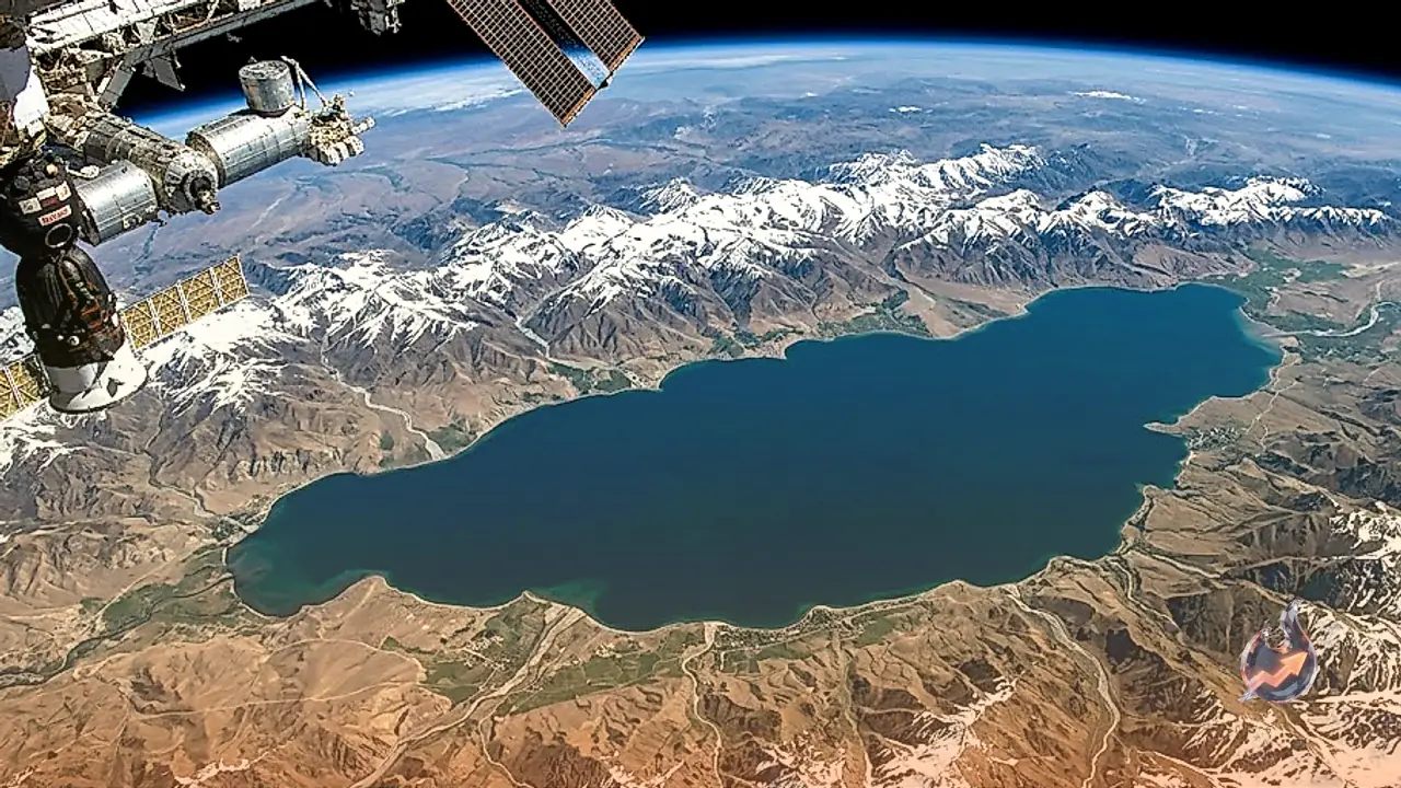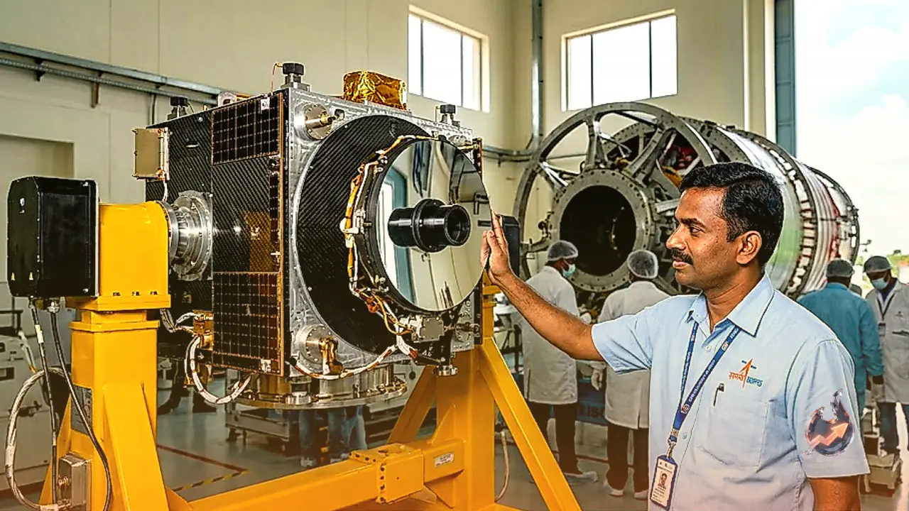























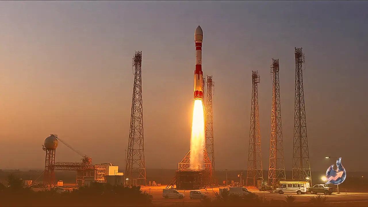

India is preparing to significantly enhance its space-based surveillance and Earth observation capabilities with the upcoming launch of the EOS-05 satellite. Scheduled for liftoff on September 4 at 2:55 AM from Sriharikota in Andhra Pradesh, the mission will be carried into space aboard the GSLV-F17 rocket. This deployment represents a major advancement in the country's monitoring infrastructure, providing high-resolution images and continuous observations that support both civilian administration and national security frameworks.
High-Altitude Positioning and Rapid Imaging Capabilities
The EOS-05 satellite will be placed into a geosynchronous orbit located approximately 36,000 kilometers above Earth. From this high altitude, the spacecraft will maintain a fixed position relative to the region, giving it an uninterrupted view over vast geographic expanses. Its primary operational advantage lies in its high-frequency imaging system, which can generate updated imagery of targeted locations roughly every five minutes. For broader coverage spanning the Indian territory, the satellite is capable of delivering fresh photographic data at intervals of approximately 30 minutes, ensuring rapid updates for dynamic situations on the ground.
Civilian Applications in Disaster Response and Environmental Tracking
The frequent stream of satellite data is designed to transform disaster management operations across the country. Emergency response teams and planning authorities will be able to track rapidly evolving natural phenomena such as flooding, tropical cyclones, and forest fires in near real time. Beyond emergency response, the imagery will serve crucial roles in agricultural monitoring and environmental oversight. Agricultural authorities can evaluate crop conditions, monitor vegetation health, and assess seasonal changes across farming belts, enabling data-driven decisions for food security and land management.
Strategic Surveillance for Border and Maritime Security
In addition to its civilian functions, official documents categorize EOS-05 as an Earth observation satellite designated for strategic users. The capability to capture continuous imagery makes it a crucial asset for monitoring border regions, key infrastructure projects, and maritime zones. By integrating its constant visual feeds with data from existing satellite networks, ground-based radar systems, and intelligence sources, defense planners can build a comprehensive understanding of changing situational dynamics along sensitive frontiers and maritime routes.
Building Advanced Defense and Observational Infrastructure
While EOS-05 is fundamentally classified as an Earth observation satellite rather than a dedicated military reconnaissance satellite, its continuous monitoring framework equips national security agencies with a vital space-based resource. The deployment via the GSLV-F17 launch vehicle underscores India's effort to expand its capacity to detect, evaluate, and respond quickly to emerging events. By maintaining a constant vigilant presence from orbit, the new satellite effectively strengthens the nation's operational readiness and strategic observation network.