





















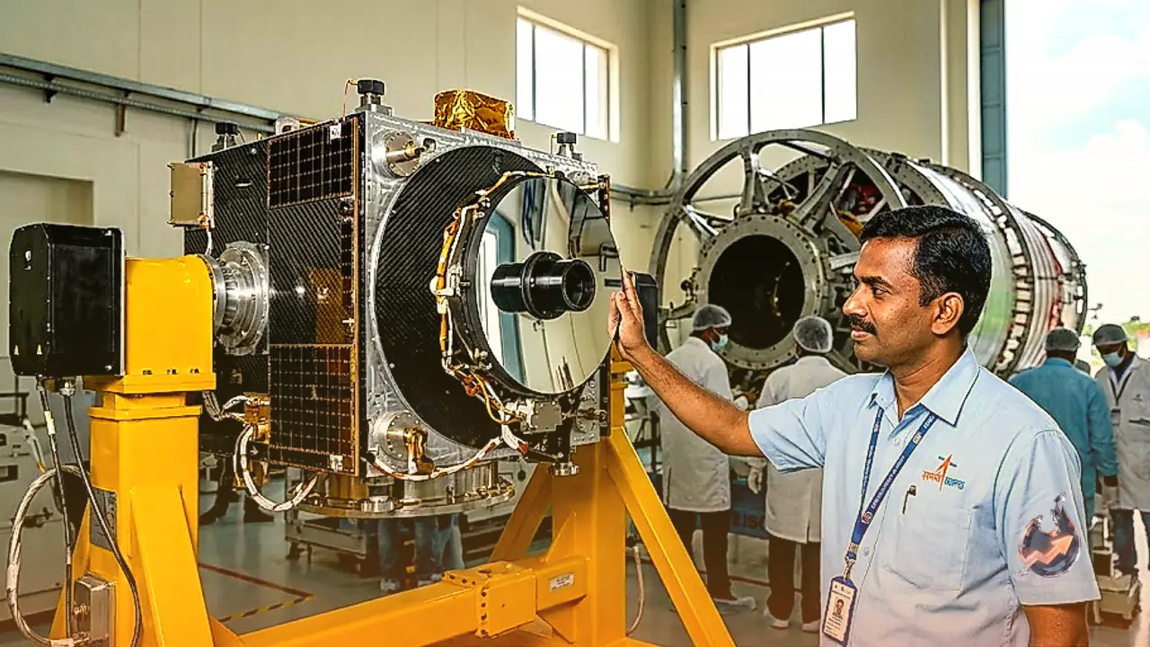

The Indian Space Research Organisation is preparing to script a fresh chapter in space exploration. On September 4, 2026, coinciding with the auspicious occasion of Janmashtami, the space agency is scheduled to launch the country's first imaging satellite.
High-Resolution Imagery From Space
The primary capability of this advanced satellite is its ability to capture exceptionally clear, high-resolution photographs from orbit. This technological leap will allow for unprecedented clarity in observing surface details from space, significantly boosting India's remote-sensing capabilities.
Accurate Tracking Of Natural Disasters
A major focus of this mission is gathering precise data on natural calamities. Whether it is monitoring cyclones, floods, or sudden storms developing across the oceans, the satellite will provide continuous updates to help disaster management authorities respond swiftly and efficiently.
Enhanced Border Surveillance
Beyond civilian applications, the satellite serves a crucial strategic purpose. It will enable constant monitoring of activities along India's borders with neighboring nations including China, Pakistan, Bangladesh, Nepal, Bhutan, and Myanmar. Clear and precise imagery from orbit will assist security forces in tracking movements and strengthening national defense.