























Earth is far from being a perfectly smooth sphere, as demonstrated by a newly released geoid visualization that maps the subtle irregularities in the planet's gravitational field. Created using comprehensive satellite measurement models, this depiction illustrates how variations in density and mass distribution deep within Earth form subtle bulges and dips across its surface. Conceptually, a geoid reflects the exact shape a global ocean would assume if its contours were governed entirely by Earth's internal gravitational pull and planetary rotation, free from external forces like ocean currents or atmospheric winds.
Exaggerated Gravity Model and 15 Years of Data
To render these gravitational nuances clearly visible to the human eye, scientists exaggerated the vertical height variations in the model by a factor of 10,000. This starkly lumpy representation was constructed from a massive dataset spanning 15 years of continuous satellite observations, incorporating over 1 billion individual measurements capable of sensing microscopic changes in gravitational pull from orbit. Alongside the static visualization, an interactive 3D model and a detailed video overview have been made available for public exploration.
The primary value of collecting precise gravity data goes far beyond creating striking planetary visuals. Orbiting satellites operated by NASA and the European Space Agency actively monitor changes in Earth's gravitational field to track major environmental transformations across the globe.
Tracking Polar Ice Sheet Loss and Rising Seas
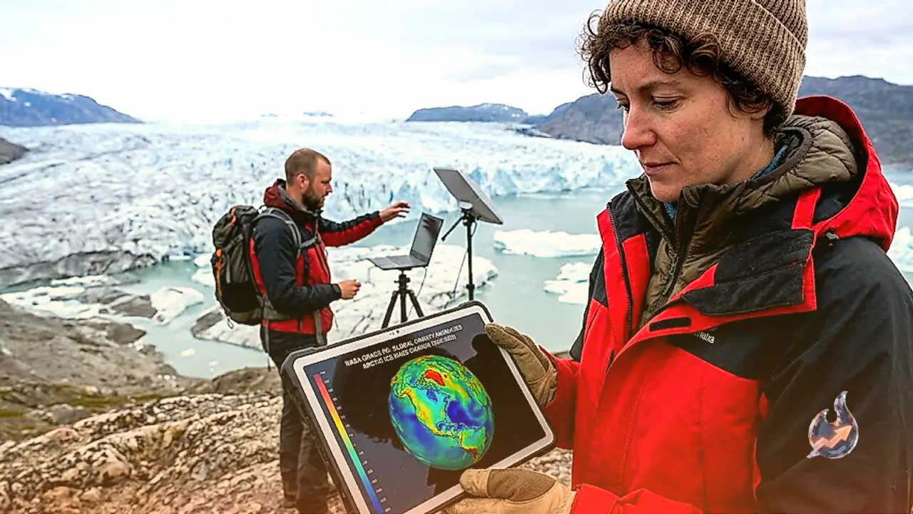
Gravitational measurements serve as a vital tool for glaciologists tracking the shrinking ice sheets of Antarctica and Greenland amidst global warming. Instruments operating under the Gravity Recovery and Climate Experiment (GRACE) program revealed that Antarctica lost an average of roughly 135 gigatons of ice per year between 2002 and 2025. Over that same timeframe, Greenland experienced an even higher rate of ice loss, shedding approximately 264 gigatons of ice annually. Refining these ice mass calculations is fundamental to understanding current sea level rise and forecasting future oceanic expansion.
Monitoring Global Groundwater Depletion and Drought
Beyond the polar caps, GRACE satellite observations provide critical data on freshwater reserves and severe drought conditions worldwide. Long-term trends identified in the dataset highlight substantial groundwater depletion across the western region of the United States. Furthermore, the gravity sensors offer detailed insights into acute dry spells, such as the intense heat and dry conditions that have fueled devastating wildfires across Spain and France this summer.
An independent analysis by the University of Nebraska using gravitational data indicated that soil moisture levels and shallow groundwater stores in affected parts of the region have dropped to near record-low levels. As climate change increases the frequency and severity of droughts worldwide, these gravitational observations equip water resource managers with indispensable data to protect dwindling water supplies in arid regions.