





















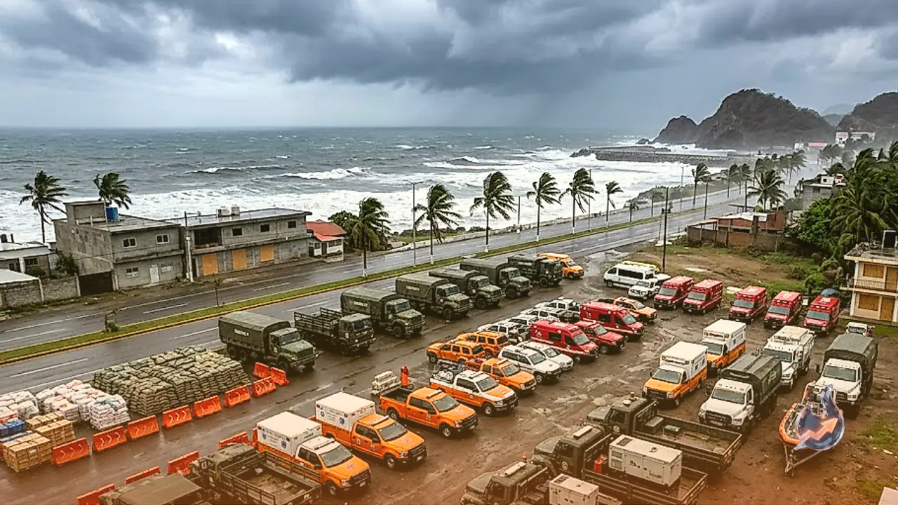

A formidable weather system originating over the Pacific Ocean is currently tracking toward the coastal regions of Mexico. Known as Hurricane Vance, the system initially packed immense destructive power before experiencing a gradual reduction in its overall intensity. Although it has transitioned from a Category 2 hurricane down to a tropical storm, its atmospheric presence remains a matter of serious concern. In response to the impending threat, local authorities have swiftly mobilized a vast contingent of 18000 first responders to ensure readiness across all vulnerable sectors.
Persistent Risks Despite Weaker Winds
According to updates from meteorological authorities and monitoring agencies, the tropical system's weakening phase does not eliminate the severe dangers of torrential downpours and sudden flash floods across multiple Mexican states. Mountainous terrain faces a heightened vulnerability to landslips as the moisture accumulation continues. Even with the reduction in classification, the storm's sustained winds are still whipping at speeds reaching 70 miles per hour, which translates to roughly 110 kilometers per hour, maintaining a dangerous capacity for localized damage.
High Alert Issued Across Multiple States
Official weather warnings cover six specific states where severe precipitation is anticipated. The areas most at risk include Colima, Nayarit, Sinaloa, along with sections of Michoacan, Jalisco, and Durango. Forecasters estimate that rainfall accumulations in these regions could range between 5 to 10 centimeters, with isolated spots potentially recording up to 17 centimeters of water. Sustained precipitation threatens to submerge low-lying residential sectors while escalating the hazard of sliding terrain in elevated zones, demanding continuous vigilance from both public safety officials and residents.
Another Storm Emerges in the Pacific
While tracking the progression of Vance, meteorologists have observed the formation of a secondary tropical system named Olana further out in the central Pacific Ocean. Current assessments indicate that this newer weather disturbance poses no immediate danger to populated landmasses. Olana's maximum sustained winds are currently registered at 45 miles per hour, or approximately 65 kilometers per hour. At the time of observation, this system was located roughly 935 kilometers west-southwest of Johnston Island, while Hurricane Vance was positioned approximately 510 kilometers west-southwest of the Mexican city of Acapulco, with models suggesting a northward shift in the coming days.
Underlying Factors Behind Frequent Pacific Storms
The frequency and intensity of oceanic storms across the Pacific basin have remained notably high throughout the current season. Climatologists point to complex interactions involving El Nino patterns and broader global warming trends as primary drivers disrupting conventional seasonal cycles. The wide-ranging repercussions of these atmospheric shifts are concurrently visible across other regions, manifesting as severe flooding and tornadoes in parts of the southwestern United States alongside prolonged drought conditions affecting select territories in Central America.