























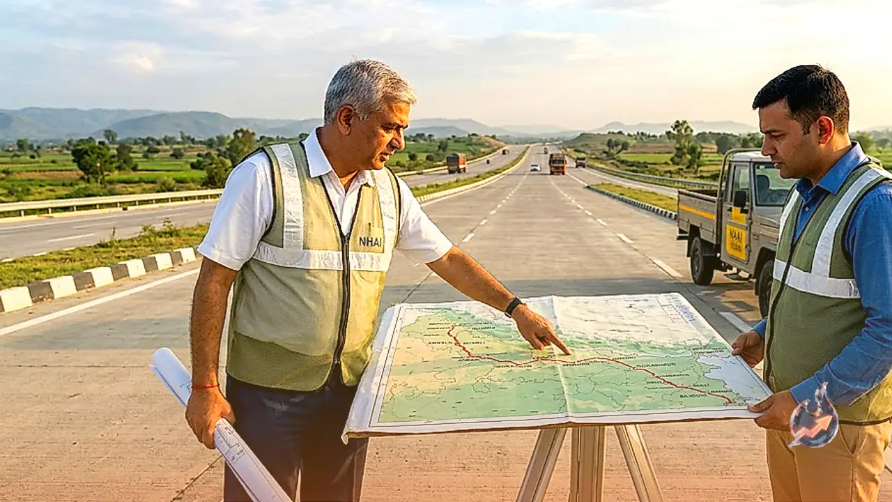

The National Highways Authority of India is aggressively expanding high-speed road connectivity across the country by integrating three massive expressway projects into a unified mega corridor spanning approximately 1,500 kilometers. Linking Ambala in Haryana to Siliguri in West Bengal, this arterial network combines the Ambala-Shamli, Shamli-Gorakhpur, and Gorakhpur-Siliguri expressways. Once fully operational, the contiguous corridor is slated to transform passenger transit and commercial freight movement across Punjab, Haryana, Delhi-NCR, Uttarakhand, Uttar Pradesh, Bihar, and West Bengal.
Drastic Travel Reductions and Crucial Decongestion for Delhi-NCR
The foremost benefit of this infrastructure venture lies in the dramatic compression of travel times between the national capital and the gateway to the Northeast. At present, navigating the existing highway network from Delhi to Siliguri requires an exhausting 28 to 32 hours behind the wheel. The seamless alignment of the new access-controlled corridors is projected to shrink that journey down to just 15 to 16 hours. Halving the transit duration will accelerate freight logistics and offer passengers a dependable overland route that competes directly with scheduled long-distance rail journeys.
Simultaneously, the route offers an effective bypass mechanism for the congested National Capital Region. Under prevailing conditions, inter-state commercial traffic moving from Punjab, Jammu and Kashmir, and Haryana toward eastern India is forced onto Delhi's peripheral bypasses. Diverting long-haul commercial vehicles away from Delhi through Ambala, Shamli, and Gorakhpur will ease chronic bottlenecks, reduce urban vehicular pollution, and cut transit wear-and-tear for fleet operators.
The Initial Gateway: 122 KM Ambala-Shamli Expressway
The western foundation of this network begins with the 122-kilometer Ambala-Shamli Expressway, establishing a direct high-speed conduit between Haryana and western Uttar Pradesh. Ambala serves as a natural convergence zone for regional highway traffic flowing out of Punjab, Chandigarh, Himachal Pradesh, and Jammu and Kashmir. Providing this northern traffic with a swift bypass around Delhi allows goods and travelers to transition smoothly into the Uttar Pradesh plains. Transit times between Ambala and Shamli are expected to drop from the current three hours to approximately one hour and 15 minutes to one hour and 30 minutes. The expressway will also directly integrate neighboring manufacturing and agricultural centers such as Kurukshetra and Yamunanagar in Haryana.
Uttar Pradesh's Longest Artery: 740 KM Shamli-Gorakhpur Section
Representing the central and longest backbone of the corridor, the Shamli-Gorakhpur Expressway extends across roughly 740 kilometers. Spanning the entire width of Uttar Pradesh from west to east, it is on course to become the longest single expressway in the state. The highway is designed to serve as an economic lifeline for nearly 22 districts across western Uttar Pradesh, the central plains, and the eastern Purvanchal region.
Today, motorists navigating between Shamli and Gorakhpur endure a sluggish 14 to 15 hours of driving across crowded regional roads. The dedicated expressway infrastructure will compress this transit to an estimated seven to eight hours. By directly linking the industrial and agrarian belts of western UP with Gorakhpur and onwards to Bihar and West Bengal, the corridor promises to lower logistics overheads for regional manufacturers and agricultural producers.
Strategic Linkages for the Capital and Uttarakhand
While the primary expressway bypasses Delhi itself, the national capital will secure rapid, indirect access to the macro-corridor. An interchange being constructed near Shamli on the Delhi-Dehradun Expressway will channel capital traffic straight into the Ambala-Gorakhpur-Siliguri network. This connection ensures that motorists exiting Delhi can merge effortlessly toward eastern destinations without navigating rural bottlenecks. The same interchange will provide travelers from Uttarakhand, particularly those moving to and from Dehradun and Haridwar, with an uninterrupted highway link toward eastern Uttar Pradesh and Bihar.
Crossing Northern Bihar: 519 KM Gorakhpur-Siliguri Link
The eastern leg of the corridor consists of the 519-kilometer Gorakhpur-Siliguri Expressway, which starts in eastern Uttar Pradesh, traverses the plains of northern Bihar, and terminates in Siliguri. This stretch introduces modern, high-speed access-controlled infrastructure to several historically underserved tracts of northern Bihar.
Border districts such as Kishanganj and Araria are slated to witness significant economic momentum as high-speed connectivity fosters local transport hubs, warehousing clusters, and agricultural supply chains. Driving between Gorakhpur and Siliguri currently consumes 15 to 18 hours due to regional congestion and mixed-traffic conditions. The new expressway will slash this commute down to approximately seven to seven and a half hours, unlocking rapid cross-border and regional commerce.
The Strategic Significance of the Chicken's Neck
The terminus of the entire 1,500-kilometer chain rests in Siliguri, a pivotal trade city in West Bengal that anchors the narrow strip of land commonly referred to as the 'Chicken's Neck'. This geographic corridor is the sole overland land bridge tying mainland India to the eight northeastern states, bordered precariously by neighboring nations.
Establishing an unhindered, high-speed transit conduit to Siliguri carries strategic weight far beyond regional business and civil transport. In periods of defense emergencies, this robust multilane corridor will provide Indian defense forces with a rapid, reliable bypass to deploy heavy equipment, troops, and supplies across northern and eastern sectors toward the northeastern frontier without being stalled by urban traffic.