

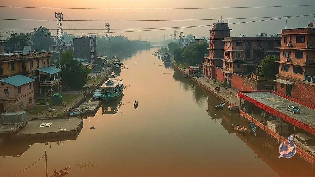


















The Meerut region is set to witness a major ecological restoration as the Uttar Pradesh government takes a decisive step towards reviving the ancient Budhi Ganga river. The state's Irrigation and Water Resources Department has officially issued a directive to conduct a scientific demarcation and notification of the river's floodplain. This initiative, based on a 100-year return period, aims to restore the continuous flow of the water body, which is situated about 45 kilometers away from Meerut in the historic town of Hastinapur.
Mapping the River Across Four Districts
The revival plan will see a comprehensive mapping of the Budhi Ganga across Muzaffarnagar, Meerut, Amroha, and Hapur districts. Special Secretary of the Uttar Pradesh government, Kuldeep Shrivastava, issued the formal order detailing the process. According to Priyank Bharti, an Assistant Professor at Shobhit University who has spent years advocating for the river's restoration, the floodplain will be divided into specific segments or reaches. This segmentation will rely on highly accurate latitude and longitude coordinates to establish scientific boundaries, significantly boosting the prospects of the river's rejuvenation.
Historical Connections and Legal Validation
The Budhi Ganga holds immense historical and spiritual significance. Ancient texts indicate that during the Mahabharata period, the river originated near the Shukartal pilgrimage site in Muzaffarnagar. From there, it wound its way through Meerut and Amroha before eventually merging with the Garh Ganga in Hapur. It is believed that the Pandavas and their contemporaries bathed in its pristine waters in front of Hastinapur's temples before performing religious rituals. Even today, remnants of this ancient stream can be observed flowing through parts of Hastinapur.
The effort to save this heritage received a massive boost from the National Green Tribunal (NGT). During a hearing on August 5, 2024, which evaluated extensive historical and archival records, the NGT established that the Budhi Ganga is indisputably a tributary of the holy Ganga river. Since the water body is also recorded as a river in ancient land revenue documents, the tribunal's intervention has provided a solid legal foundation for protecting its entire river system and natural flood basins.
Significance of the 100-Year Floodplain Demarcation
Implementing a scientific boundary based on a 100-year return period is a critical strategy for modern river conservation. This approach identifies areas that have a statistical probability of flooding once in a century, allowing authorities to protect the natural flood-cycle zones from unauthorized construction and encroachment. By legally notifying these zones, the government can prevent activities that disrupt the river's natural flow and ecological balance. The scientific demarcation is expected to pave the way for a sustained water flow, ensuring that this historical tributary does not fade into oblivion but remains a living part of the region's geography.