




















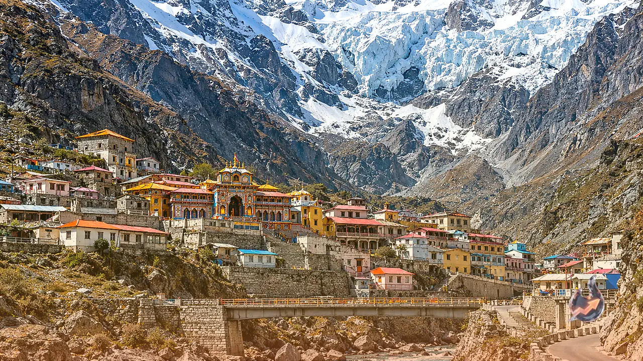

Massive hanging glaciers perched high on the rugged slopes above the Himalayan pilgrimage town of Badrinath pose a considerable long-term natural hazard to the valley below. According to a collaborative scientific assessment, should the most unstable section of three examined hanging glaciers detach and slide down, the resulting surge could impact approximately 398 structures, 2.66 kilometres of roadway, two bridges, a helipad, and an expansive parking facility.
Collaborative Study Examines Glacial Instability at High Altitudes
Published on October 28 in the scientific journal Landslides, the investigation was conducted jointly by researchers from the Indian Institute of Science (IISc), the University of Cambridge in the United Kingdom, and the Defence Research and Development Organisation (DRDO). The research team focused their evaluation on three specific hanging glaciers located at extreme elevations ranging between 4,700 and 5,465 metres above sea level directly overlooking Badrinath.
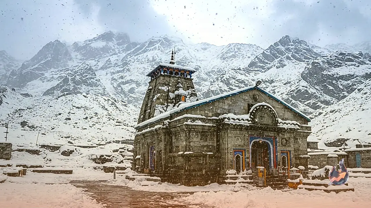
Badrinath itself sits on the banks of the Alaknanda River at an altitude of approximately 3,415 metres. Serving as one of the cornerstone destinations of the annual Char Dham pilgrimage circuit, the shrine town witnessed the arrival of around 1.7 million devotees during the 2025 pilgrimage season alone. Given this immense density of pilgrims alongside permanent residents and growing infrastructure, quantifying the physical threats originating from overhead ice masses has become an imperative task.
Dynamics and Hazards of Steep Hanging Ice Formations
Hanging glaciers are immense accumulations of ice and snow situated on extremely steep cliffs or mountain slopes that terminate abruptly without reaching the bottom of the valley. These glaciers remain locked to bedrock only so long as thermal and mechanical forces keep their base adherent. However, shifts in temperature or mechanical weakening at the interface where ice meets rock can compromise their hold, prompting sudden structural failure.
When such an ice block breaks away, it does not descend as a simple snow slide. Instead, the detachment triggers a high-energy avalanche that rapidly entrains surrounding loose rock, glacial moraine, water, and pulverized debris along its path. In conducting their evaluation, scientists utilized high-resolution satellite imagery paired with digital elevation modeling to systematically identify glacial features around Badrinath. Ice masses with average bed slopes of 30 degrees or steeper were screened for baseline instability, leading to the selection of three proximate sites for detailed hydrodynamic simulation.
Second Glacier Identified as the Most Destructive Failure Scenario
Across the simulated cases, the glacier mapped at the second study site demonstrated the greatest destructive potential. Computer modeling indicates that this specific ice formation holds an estimated volume of 5.32 million cubic metres of ice with a steep mean slope of 34.57 degrees.
Under a worst-case collapse scenario, numerical simulations indicate that the rapid avalanche flow could accelerate to peak velocities of 78.5 metres per second. Furthermore, the crest of the surging debris and ice wave could attain an inundation height of up to 73.5 metres. A catastrophic runout of this scale threatens roughly 398 buildings, 2.66 kilometres of roadway, two river bridges, the local helipad, and adjoining vehicle parking lots. Notably, the simulation indicates that the primary Badrinath Temple structure lies outside the direct path of the principal avalanche impact, although accumulated boulders and peripheral debris runoff could still affect the temple vicinity.
Zoning Restrictions and Protective Buffer Recommendations
To mitigate potential loss of life and structural disruption, researchers have recommended instituting proactive risk-management strategies. Key measures include formally demarcating the anticipated runout and blast zones to designate clear buffer corridors. The study strongly advocates that future construction activities and infrastructure expansion in the valley be strictly regulated according to the outer hazard envelope delineated by the worst-case inundation models.
Senior glaciologist and study co-author Anil V. Kulkarni pointed out that the simulation framework utilized in this research can be systematically extended to evaluate risks facing other populated mountain settlements situated under hanging ice walls. His observation follows an earlier scientific survey published in April, which documented 219 hanging glaciers across the wider region, noting that nearly 30 percent were situated within the Alaknanda River basin with structurally unstable ice bodies.
Study Constraints and Disaster Preparedness Goals
The investigators emphasized the inherent methodological boundaries of computational modeling. Key parameters such as ice thickness distribution and exact release volumes were inferred through satellite observations and numerical approximations rather than direct, in-situ physical measurements across the hazardous terrain. In addition, mechanical friction values governing how saturated debris moves over rocky topography introduce natural uncertainties, meaning an actual failure event might diverge somewhat from simulated boundaries.
Crucially, the study does not represent an imminent early warning of immediate glacial collapse. Instead, it serves as a foundational hazard mapping tool, urging civic planners and disaster management authorities to incorporate realistic glacial runout scenarios into future zoning, early monitoring systems, and regional evacuation planning.